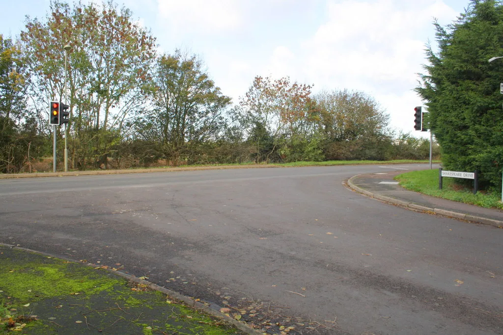

Work has restarted on the north west Bicester link road, paused since 2021. A planning application is due in spring 2027 and a decision in winter 2027.
Oxfordshire County Council has restarted work on the north west Bicester strategic link road, five years after it was paused. It expects to submit a planning application in spring 2027 and to have a decision in winter 2027.
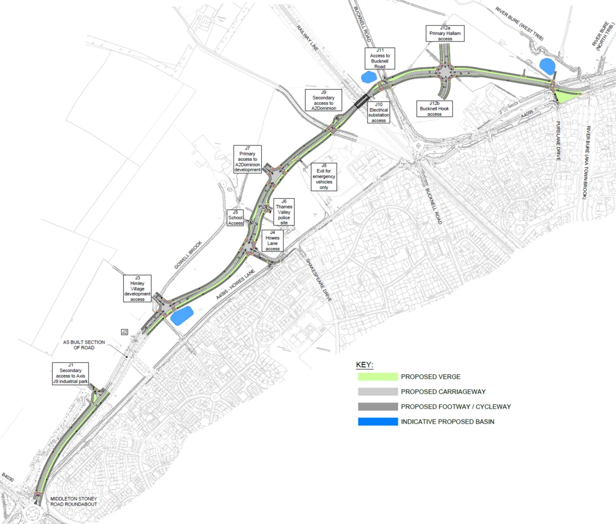
The road would link the A4095 at Middleton Stoney Road and Howes Lane with Lords Lane. It would run through the railway underbridge that was finished in 2021.
The council announced the restart on 2 November. It said more homes had now been built in the area, which unlocked more developer funding.
Why it stopped, and why it has started again
Work was paused in 2021 after a review of costs and of how quickly the planned housing was being delivered. The council said the pause was to let more houses be built and more Section 106 money, the contributions developers pay towards local infrastructure, be secured.
Councillor Liz Leffman, the county’s cabinet member for highways, said: “Now that more houses have been built on site, we can move forward together with developers and other partners to develop proposals for the full route.”
The scheme used to be called the Howes Lane realignment and the A4095 realignment scheme.
What the road would include
The council’s project page says it would deliver:
- a new link road through the north west Bicester housing area
- walking, wheeling and cycling routes
- bus infrastructure
- new junctions, including a connection to a new secondary school planned for the area
- measures to make the road network more resilient
North west Bicester is planned to take around 6,000 homes and at least 3,500 jobs. The council says the road would take traffic away from existing homes and reduce queues.
The timetable
| Stage | When |
|---|---|
| Planning permission for phase one | 2019 |
| Railway underbridge and underpass finished; scheme paused | 2021 |
| Design and planning contract starts | 1 July 2026 |
| Preliminary design finished and planning application submitted | Spring 2027 |
| Detailed design begins | Spring 2027 |
| Planning decision expected | Winter 2027 |
| Construction | No start date confirmed |
The design and planning work has been let to Perfect Circle JV Ltd. The contract notice on Find a Tender puts its value at £1,184,031 before VAT, or £1,480,039 with VAT. It runs from 1 July 2026 to 29 February 2028.
The notice says the contract covers:
- preliminary design of the whole road
- preparing and submitting the planning application
- detailed design of the section east of the new junction with Bucknell Road
- a feasibility study on restricting some types of traffic on Howes Lane east of Shakespeare Drive
What it means for Howes Lane
Nothing has been decided about Howes Lane yet. The council says the feasibility study is looking at “future arrangements for part of the existing Howes Lane corridor” and that “no decisions have been made”.
The contract notice describes it as a study of “modal restriction” on Howes Lane east of Shakespeare Drive. That usually means limiting which kinds of vehicle can use a road. No option has been published.
What it means for you
- Nothing changes on the roads yet. There is no construction date. The council says building the full route still depends on planning approval, detailed design, land agreements, deals with partners and funding.
- You will get a say. The council says it will give more information, in person and online, about the planning application and how to comment nearer the time.
- If you live on or use Howes Lane, watch for the feasibility study. It is the part of the work most likely to change how you get around.
- Questions go to the project team at NWBicesterSLR@Oxfordshire.gov.uk.
- Our roadworks and travel page carries current closures across the district.
We will report the planning application when it is submitted.
Have your say